
Bob demonstrated how (paper) records held in the local history collection of the Strathpine library can provide valuable insights into the history of land use in the (former) Pine Rivers Shire.
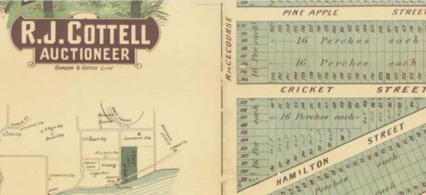
Since all the relevant records identify a parcel of land by some derivative of the original surveyor's designation, the starting point for any search needs to be the 40 Chain Cadastral Map. The library has several print copies of the map covering most of the old shire. You can also download a digital copy from Data Queensland. The Data Queensland site also includes other maps from the same series if your family traveled further afield.
Once you have obtained a full description (County, Parish, Portion) for a parcel of land, you can turn to the library's Land by Parish series. These ring-binders contain a two- (or four-) page summary of information.
It confirms the location within the nineteenth century map and also shows a more recent view including sub-divisions. It names the original purchaser (or selector) of the Crown land when it was first alienated.
The final section lists in order each owner and/or occupier who paid Rates from 1878 to 1952. This will show when (and by whom) the land was sub-divided or consolidated for other uses.
The name of any owner taken from this list can also be searched in the alphabetical list of ratepayers which should show other land held in the shire either before, after, or at the same time as the block of interest.
Although records of Crown land sales and selection were created by the State Government and so are held at the Queensland State Archives, many of the documents related to land in the Shire were copied by library staff and are held in the Strathpine collection.
Since these paper records are both valuable and easily damaged, they are not on open-shelf display. If you wish to use them, you should make arrangements with staff to have one of the friendly volunteers assist you.

 RSS Feed
